SKU:
PR622006
Illustrated Maps
$69.95 AUD
Unit price
/
Unavailable
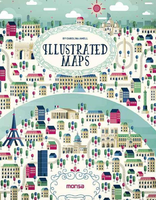
Explore the captivating realm of Illustrated Maps, where art meets geography in an extraordinary fashion. This exquisite hardback book, measuring 180 x 230 mm, features 192 pages filled with imaginative illustrations that celebrate iconic landmarks and vibrant cities such as Paris, Berlin, Dubai, and Rio de Janeiro. Perfect for travel enthusiasts and art lovers, each page transforms the ordinary map into a visual masterpiece, inviting you to experience the world in a unique way.
With contributions from renowned artists like Studio Muti, Marcus Oakley, Katie Vernon, Jackkrit Anantakul, and Olaf Hajek, the artwork ranges from intricate pen drawings to vivid watercolors and cutting-edge digital designs. Each artist brings a distinct style, enriching the storytelling of these maps while sparking your imagination. Dive into each visual delight and uncover the narrative hidden in every line and color.
Ideal as a distinctive coffee table book, a thoughtful gift, or a striking addition to your art collection, Illustrated Maps transports you through beautifully crafted scenes that honor our planet's diverse beauty. Celebrate the art of exploration with this one-of-a-kind book, guaranteed to be a cherished addition in any library or home.
Author: Carolina Amell | Publisher: Monsa | Format: Hardback | Dimensions: 180 x 230 mm | Pages: 192 | Publication Date: 20-06-2016
Illustrated Maps offers a breathtaking selection of artistic interpretations of the world’s treasures, making it a must-have for anyone who appreciates the captivating blend of cartography and fine art.
Delivery Information
Delivery Information
Delivery takes 3-12 business days after dispatch from our fulfillment center, unless stated otherwise. In most cases, your order will arrive before the 12-day mark; however, some items may take up to the full 12 working days.
Payment & Security
Payment methods
Your payment information is processed securely. We do not store credit card details nor have access to your credit card information.


